blah blah blah
Mt. Liberty
Length: 8.0 miles out-and-backDifficulty (click for info): Very Hard
Elevation Gain: 3150 feet
Rating (click for info): 10/10
Elevation: 4459'
Prominence: 399'
Driving Directions:
Trailhead and parking area area on Rt. 3 in Lincoln, NH. It is 0.5 miles north of Rt. 93 at exit 34A and just north of The Flume Gorge, on the east side of the road. Click here for a Google Map.
About the Hike:
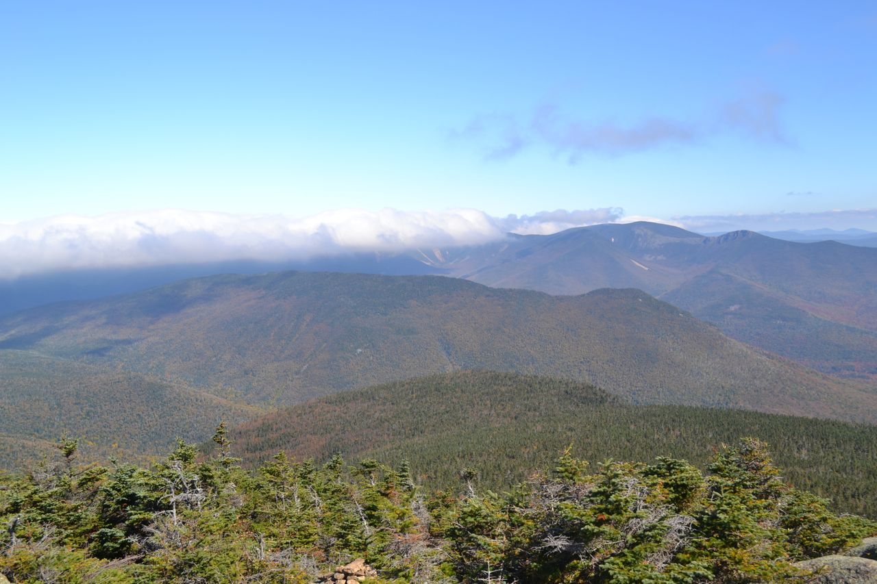
The high peaks of the Franconia Range have long been famous for their breathtaking views of the Pemigewasset Wilderness and are proportionately popular, but the two mountains at the low end of the range, Mt. Liberty and Mt. Flume, are far less visited. Hiking them both at once requires an ascent up the steep and dangerous Flume Slide Trail, and the view from Mt. Liberty far exceeds that from Mt. Flume, so most hikers will find it best to climb only Mt. Liberty. The view includes a perspective of the wilderness similar to the one found much higher up the range, as well as an interesting look across and through Franconia Notch.
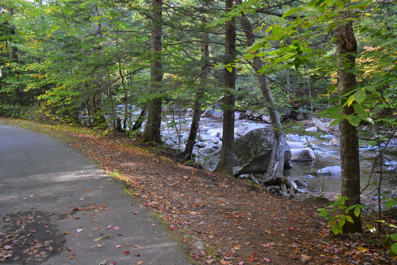
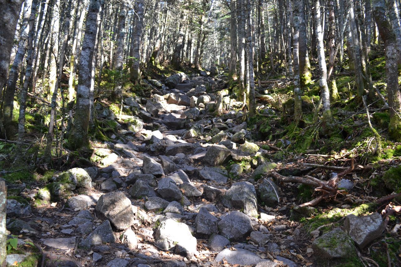
Since there is no parking at the beginning of the Liberty Spring Trail, the hike starts on the Whitehouse Trail, an easy path running parallel to the road. Leaving the parking area, the trail climbs around a few small hills for 0.6 miles, then joins Franconia Notch Recreation Path (turn left) for a pleasant stroll along the Pemigewasset River. Just after Cascade Brook Trail leads off to the left, the bike path turns right to cross a bridge. On the other side, turn right onto Liberty Spring Trail. The trail heads straight into the forest for a short distance, then two long, moderate switchbacks lead to the junction with the Flume Slide Trail, 0.6 miles from the bike path. The trail climbs very gradually from here, crossing a brook in a half mile. It then turns right and begins to ascend more steeply. After it turns back to the left, the trail becomes very steep and rocky. After climbing 1.5 miles, the trail passes several campsites around Liberty Spring. Continue 0.3 miles to the ridge top and turn right onto Franconia Ridge Trail. The pathway becomes gravelly and flat for a short section, then makes a short, rocky climb to the summit, reached in another 0.3 miles.
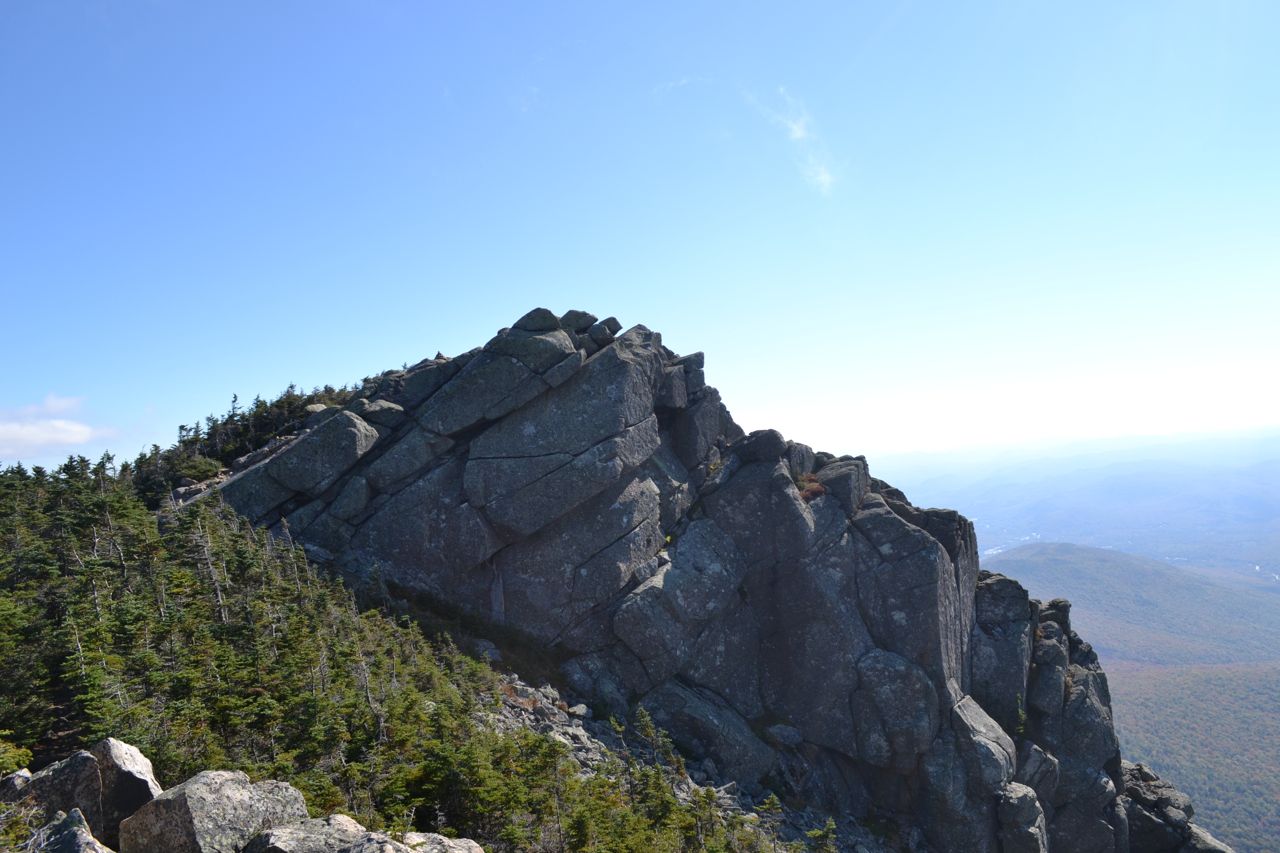
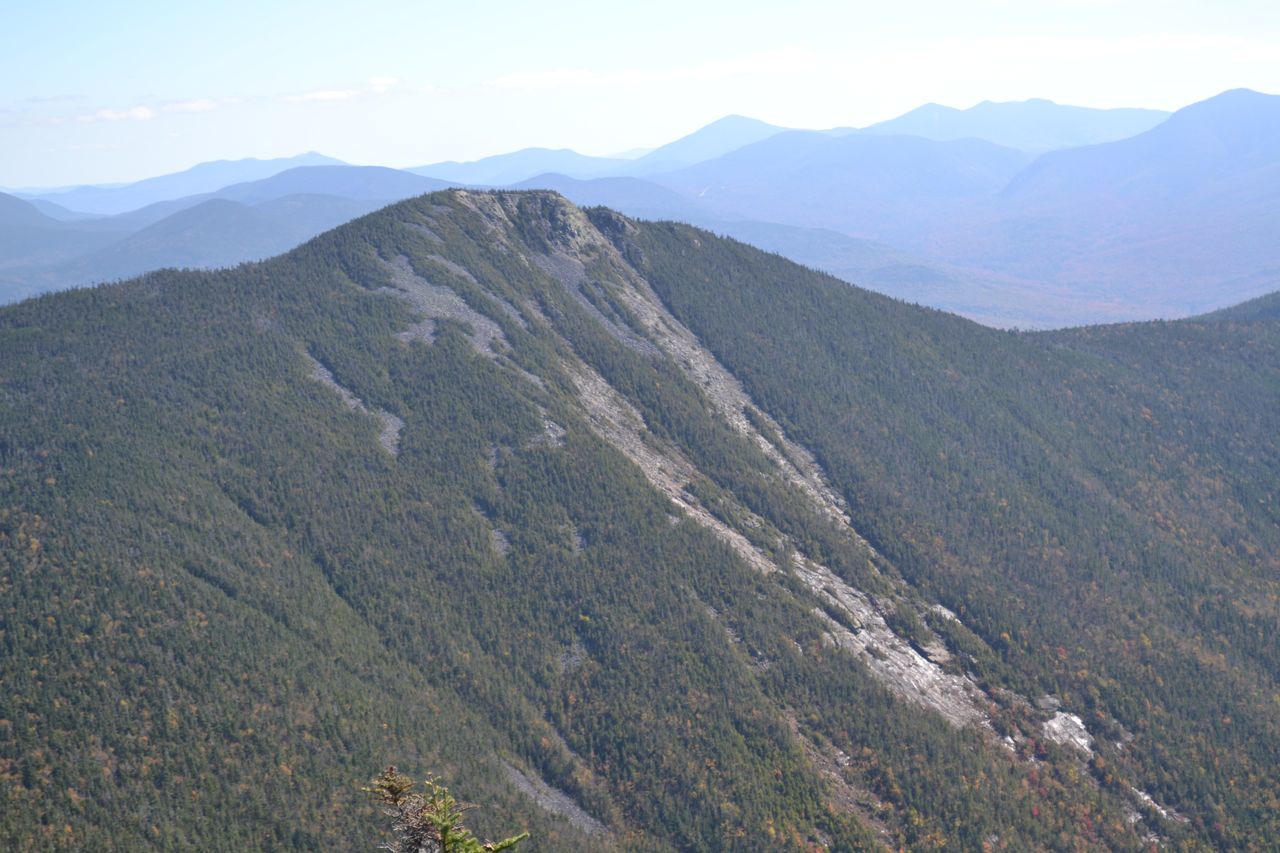
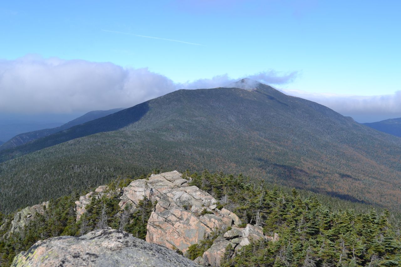
On the summit, you have unrestricted views in all directions. To the west, you can see the Kinsman Range across the notch, with the town of Lincoln below. To the north, the magnificent Cannon Cliffs rise across the notch from Agony Ridge. To the north, the ridgeline leads up to Little Haystack Mountain and Mt. Lincoln (Lafayette is hidden). On the other side of the Franconias is Mt. Garfield. Past Mt. Garfield, the Garfield Ridge leads past small, rounded Galehead Mountain up to the Twins. To the south down the Twin Range is Mt. Guyot, followed by Mt. Bond (with West Bond in front), then the magnificent Bondcliff. Then the long, wooded Owl's Head Mountain stretches out below. In the distance, beyond the Bonds, is Mt. Washington. In the distance to the right of Bondcliff are mountains in the Baldface Range and on the lower Montalban Ridge. To the southeast are Mts. Carrigain and Hancock. Right in front of you is Mt. Flume, with its dramatic slides best visible from this angle. Behind Flume are the Sandwich Range and the mountains around Waterville Valley. To the south, the view extends a great distance. Off to the southwest is massive Mt. Moosilauke, across Kinsman Notch from the Kinsman Range.
Printable directions page